We work with the highest quality data providers in the industry.
Unveiling a spectrum of solutions
Our team merges complex business needs with user-friendly GIS solutions, ensuring client satisfaction through comprehensive, tailored services like mapping software, databases, and consulting, evolving with your business.
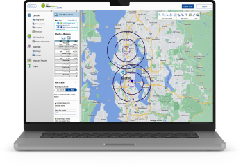
360FranTerra is your tool for territory management and optimization. Designed for you to seamlessly carve, manage, and fine-tune your territories.
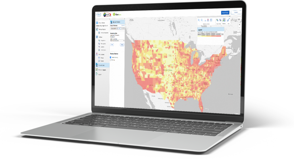
20/20iSite is your guide to profitable location decisions. A platform that turns complex data into a clear perspective that fuels informed decision-making.
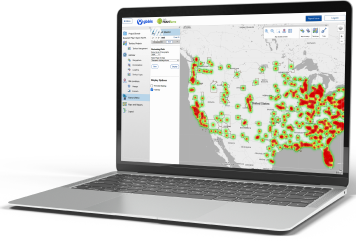
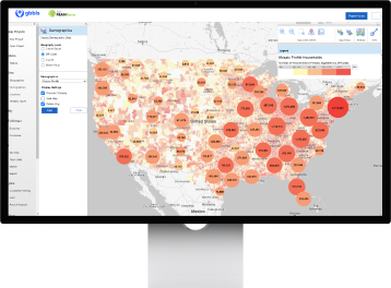
Discover demand and unfulfilled potential with MarketMentor. Identify lucrative opportunities in both new and existing markets, and prioritize your markets to maximize your revenue.
360FranTerra is your tool for territory management and optimization. Designed for you to seamlessly carve, manage, and fine-tune your territories.
20/20iSite is your guide to profitable location decisions. A platform that turns complex data into a clear perspective that fuels informed decision-making.
Discover demand and unfulfilled potential with MarketMentor. Identify lucrative opportunities in both new and existing markets, and prioritize your markets to maximize your revenue.
Leading the way in GIS mapping software and data-driven solutions
Whether you are a seasoned expert in the realm of GIS software or a newcomer eager to explore, we provide an intuitive experience that makes strategic growth easy.
Engage with Gbbis: A voyage of discovery and growth
Your digital compass to explore the potential of your business. Discover the rhythm of consumer behavior, and design strategies that resonate with the pulse of your target audience.
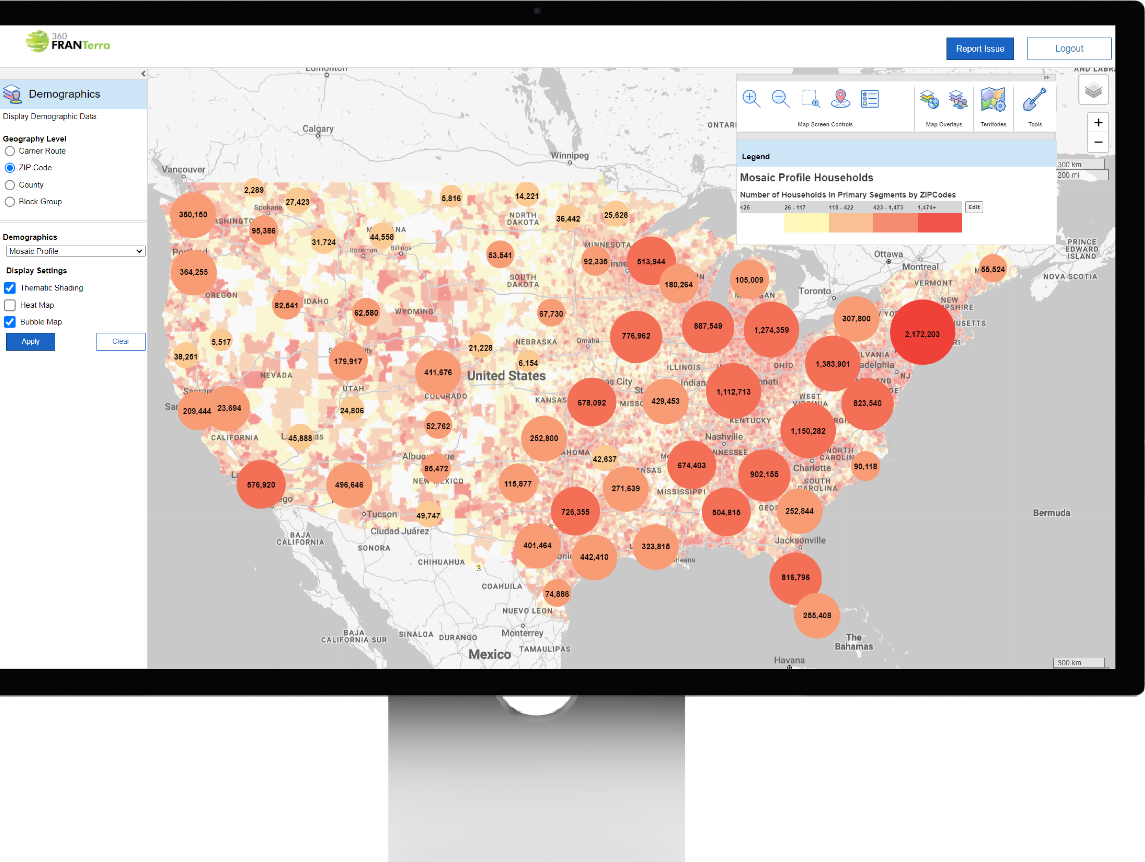
Our GIS mapping software provides detailed data and insights for informed decisions, with a user-friendly interface that enables unprecedented data visualization.
Streamlined Operations
Our solutions streamline operations and enhance efficiency by integrating your data with our mapping platform, offering tailored functionality for your specific needs.
Unmatched Support
Our experts work with you to maximize software use, ensure seamless implementation, and offer ongoing support, emphasizing our commitment to long-term client success.
Solutions configured to your company's needs
Tell us what your needs are. And we’ll configure a solution to meet those needs. Solutions should conform to the way you do business, not the other way around.
Our web applications and mapping solutions are configured to your specifications to reflect your business model. If we don’t have something you need, we invent it.
Connect with Gbbis today, and let’s build a journey to success powered by precise analytic insights and innovative GIS solutions. Your gateway to strategic growth is just a click away.